A georeferencing company specializes in collecting geospatial data for delimiting and regularizing rural and urban properties. Using advanced technology, like high-precision GPS, total stations and drones, These companies play a fundamental role in property certification, ensuring that properties comply with land legislation. In this article,…
All Posts in "mapas topográficos" Tag
Tag archive page
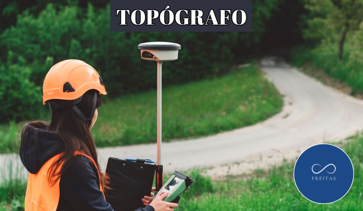
O topógrafo é o profissional responsável por realizar medições e levantamentos detalhados de terrenos, construções e áreas geográficas para diversos fins. Ele utiliza equipamentos especializados para coletar dados que são essenciais para projetos de engenharia, arquitetura, construction, agricultura, e até mesmo na delimitação de propriedades. In this article, vamos entender o que faz um topógrafo,…


